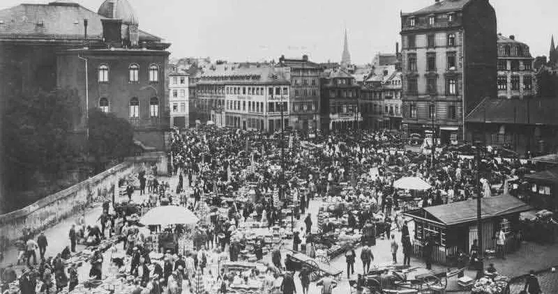
Der Börneplatz
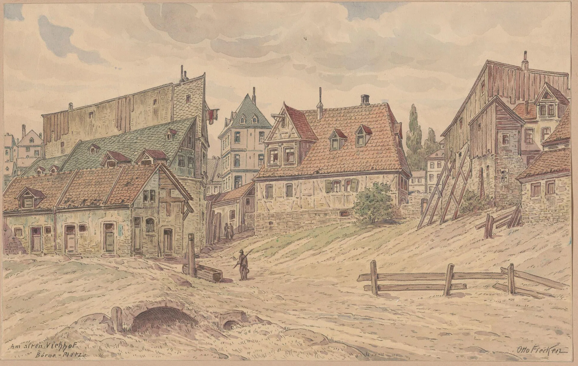
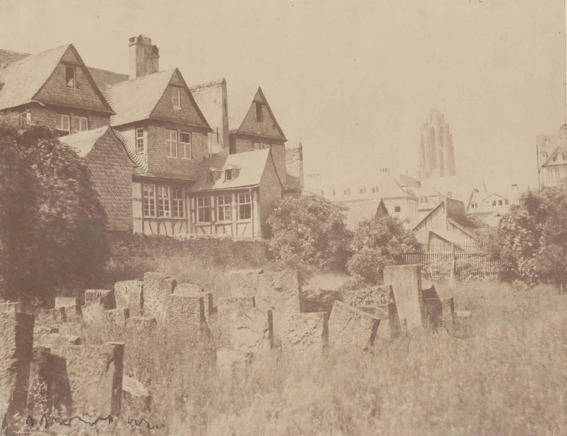
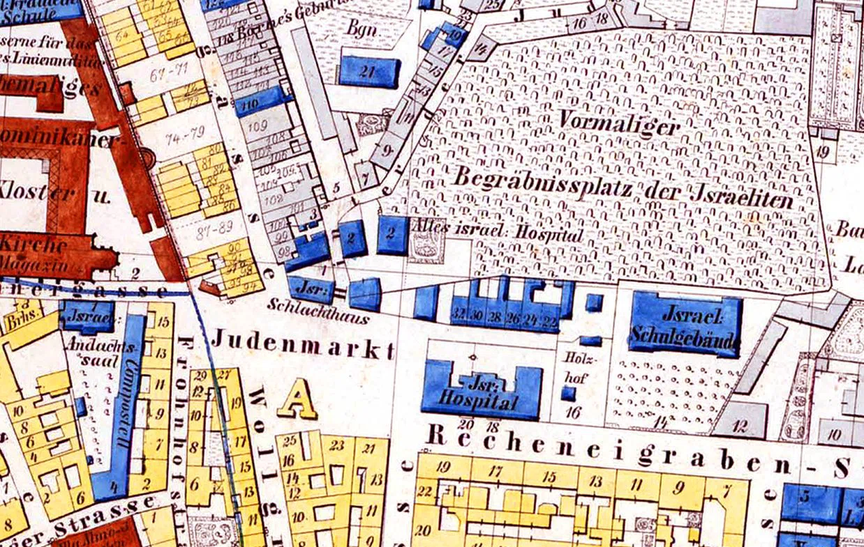
At the southwestern end of the Jewish cemetery, a square developed in the Middle Ages, which became the center of Jewish life in Frankfurt from the 16th century through the Judenmarkt, which gave it its name. This city map by Julius Eduard Foltz-Eberle from 1852 shows the slaughterhouse, the hospital and the school building in addition to the inscription "Judenmarkt" and the neighboring cemetery.
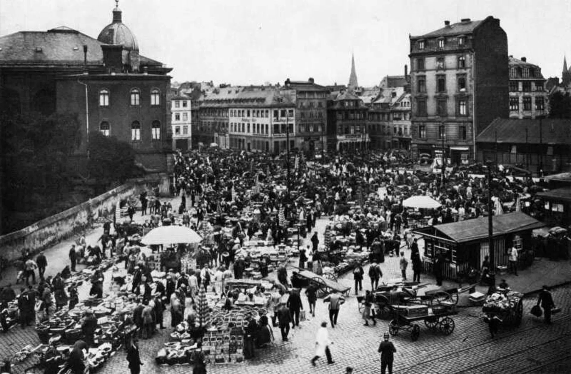
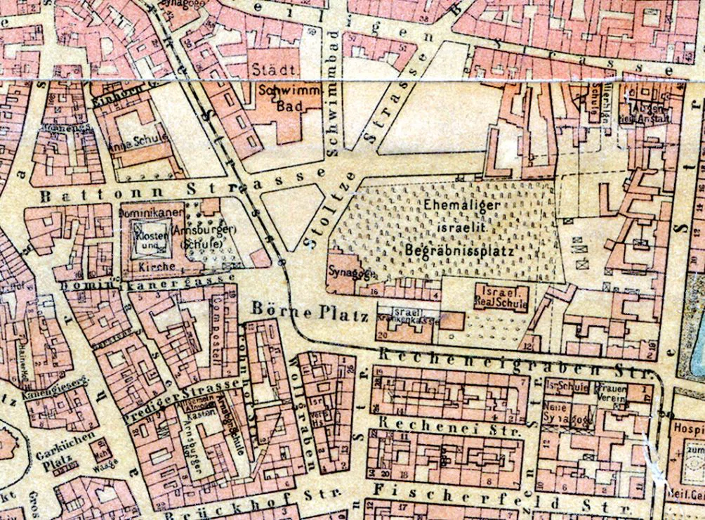
Later, this square was considerably enlarged and in 1885, after the construction of the Orthodox synagogue, it became Börneplatz. On Ludwig Ravenstein's map from 1895, the changed building situation can be clearly seen.
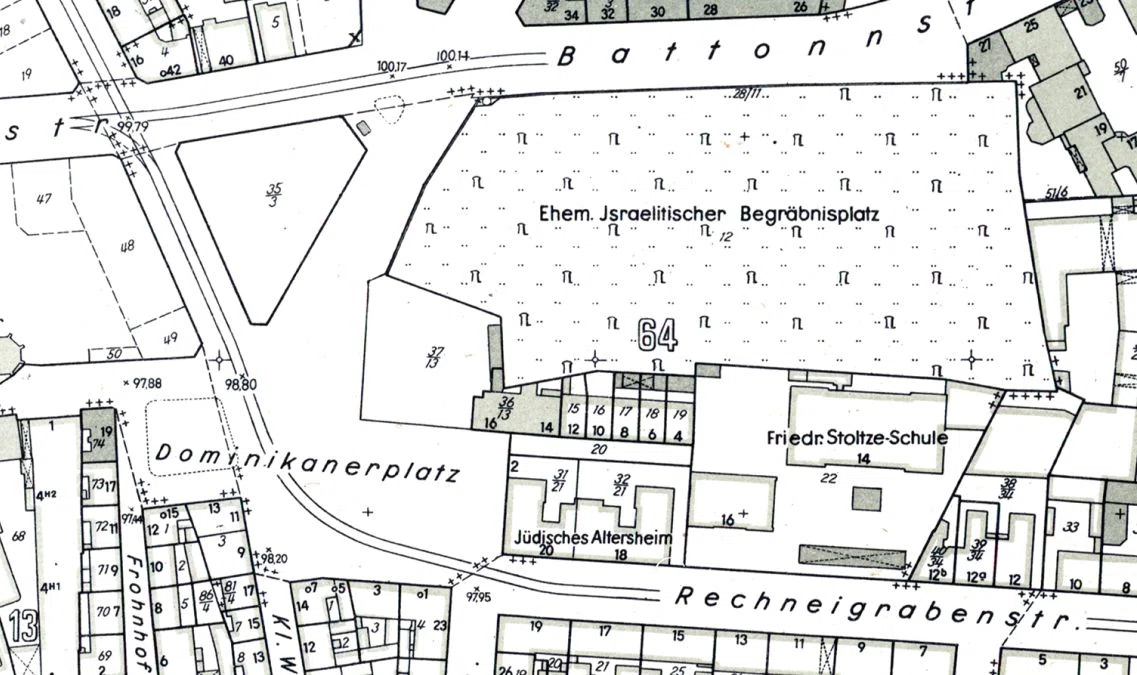
To conceal its Jewish history, it was renamed Dominikanerplatz in 1935, a reference to the Dominican monastery across the street. The synagogue was destroyed during the Reich pogrom night. In addition to the inscription "Dominikanerplatz," the 1950 map of the city surveyor's office also shows that several buildings once used by Jews were now in other hands.
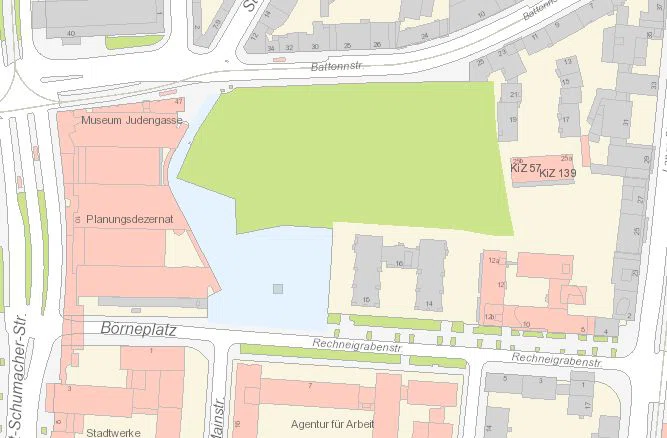
After the war, a wholesale flower market hall and a gas station were built on the site; in 1978, Dominikanerplatz was renamed back to Börneplatz. The planned start of construction of the customer center of the former Frankfurt public utility company from the mid-1980s led to the Börneplatz conflict. As a compromise, today's Neuer Börneplatz remained undeveloped, and the memorial was built by 1996.
