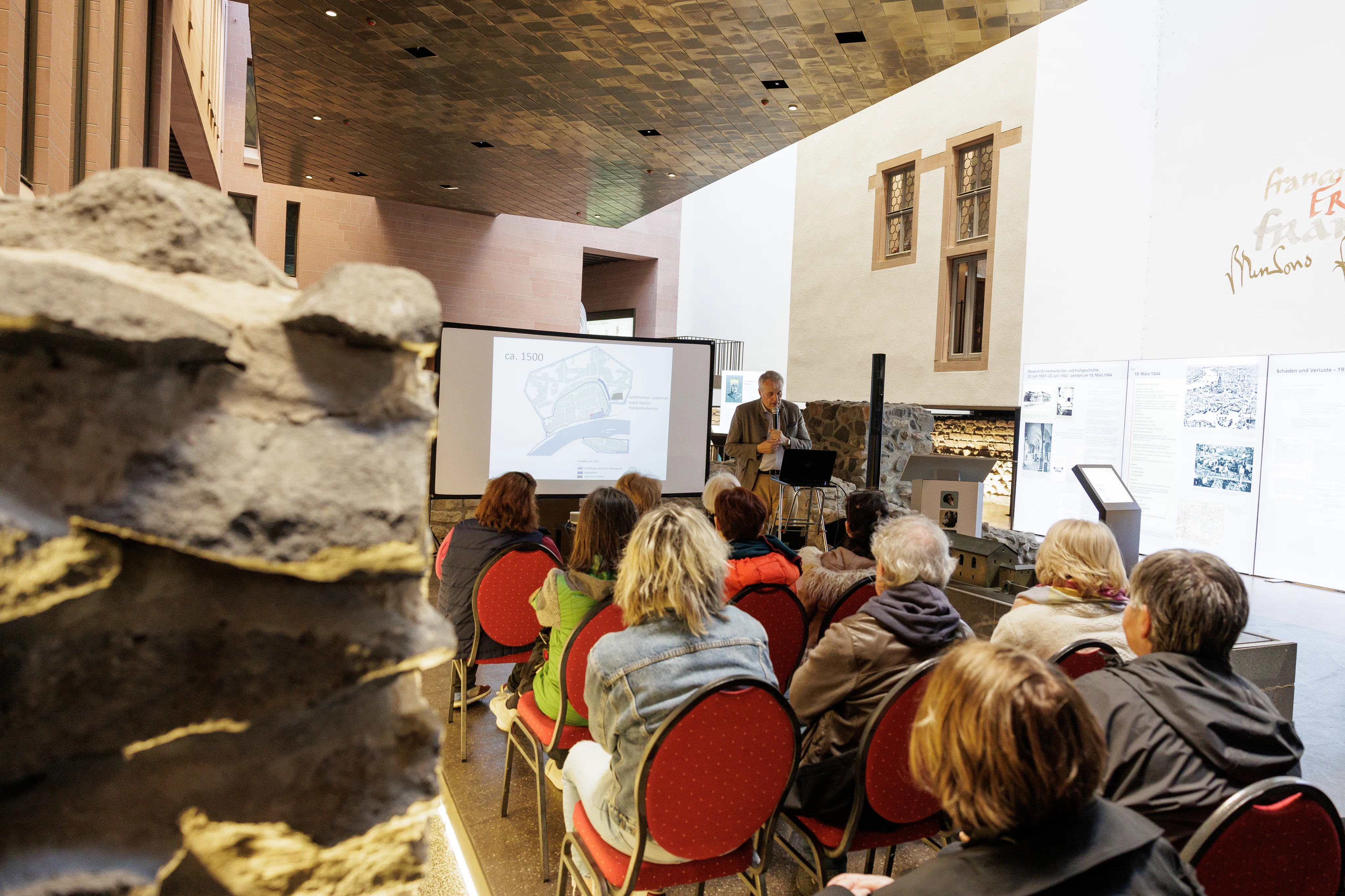
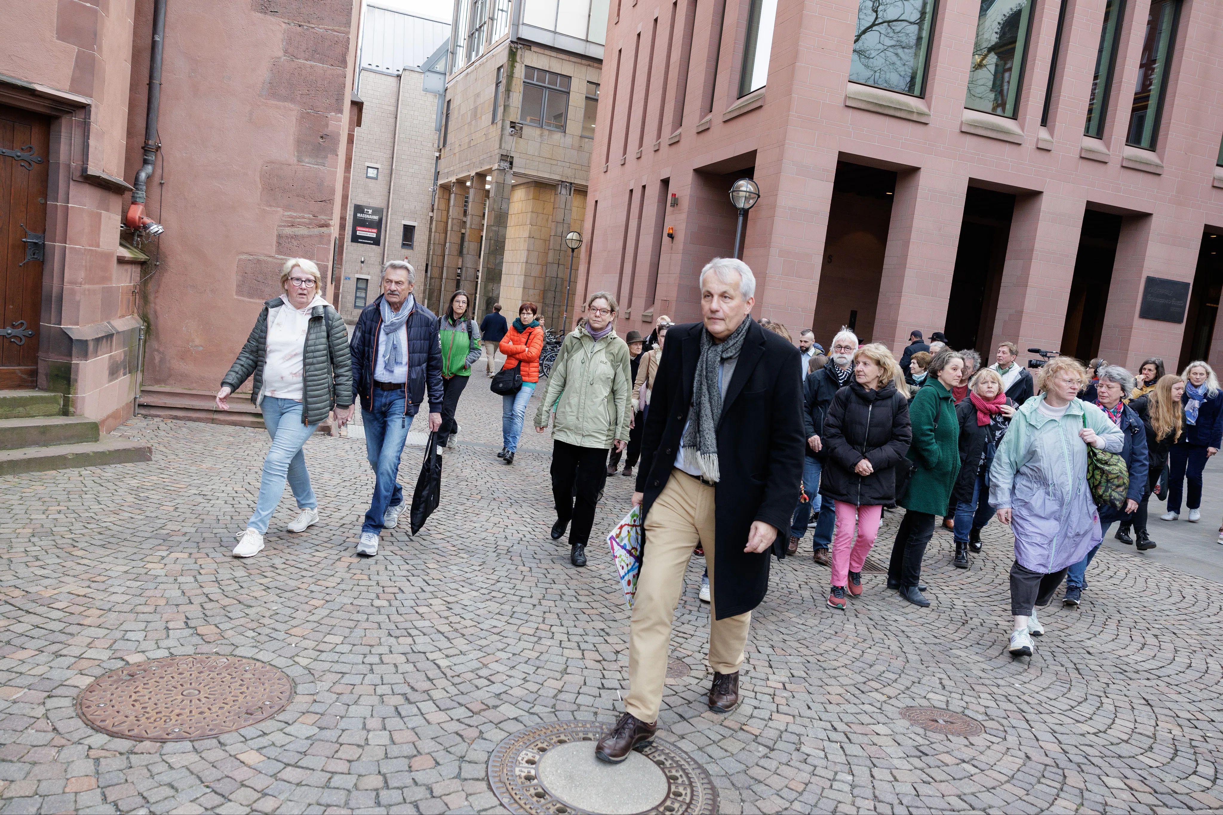
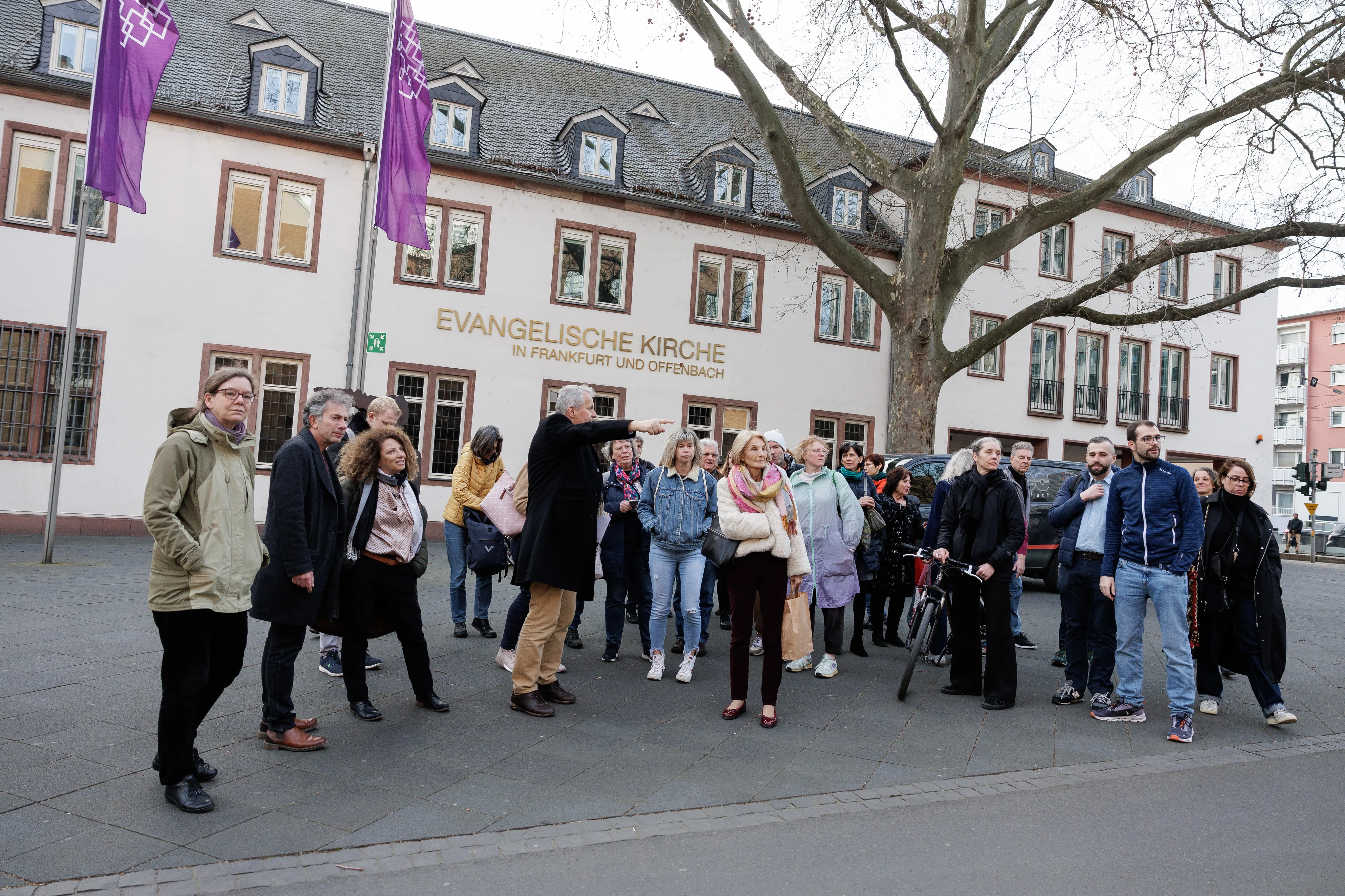
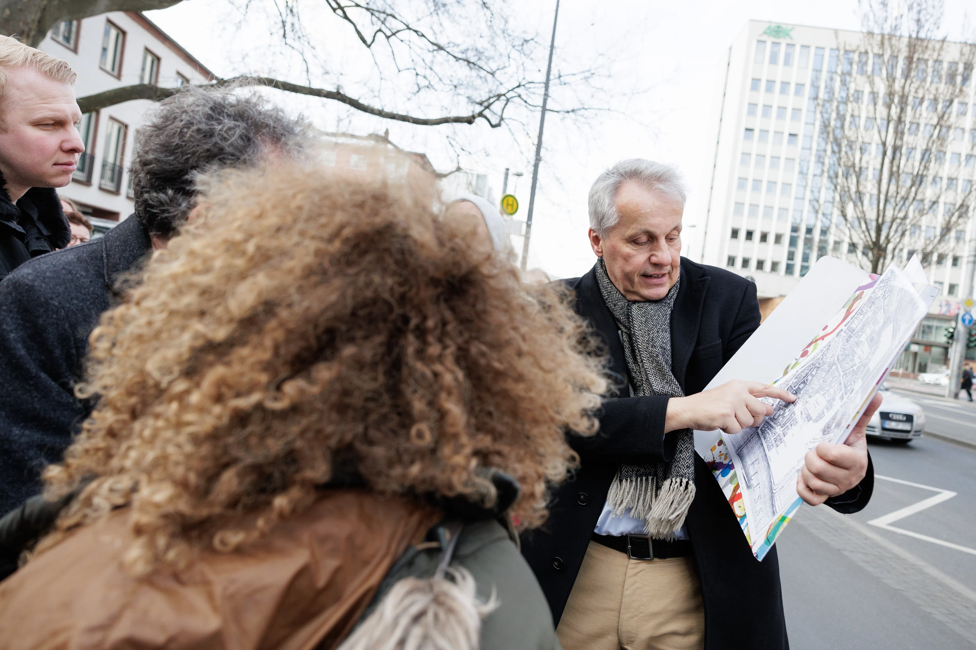
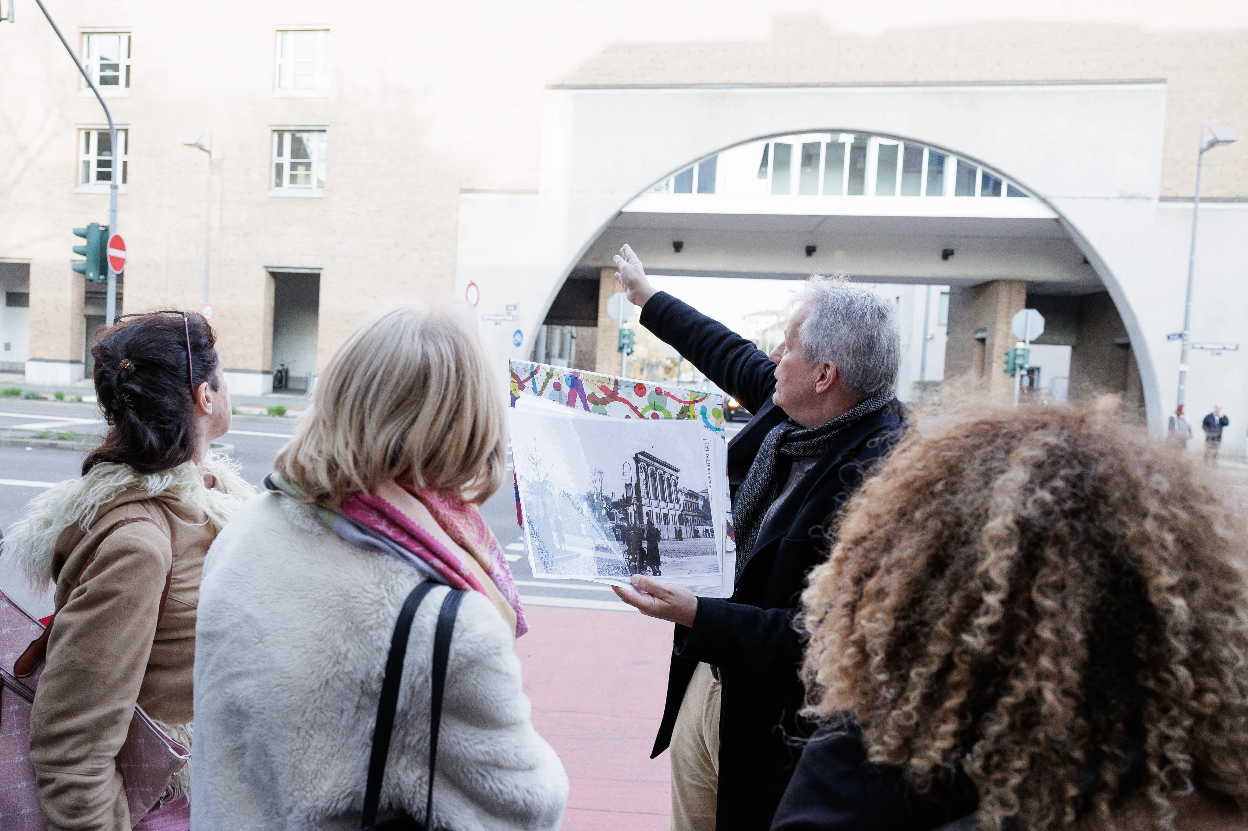
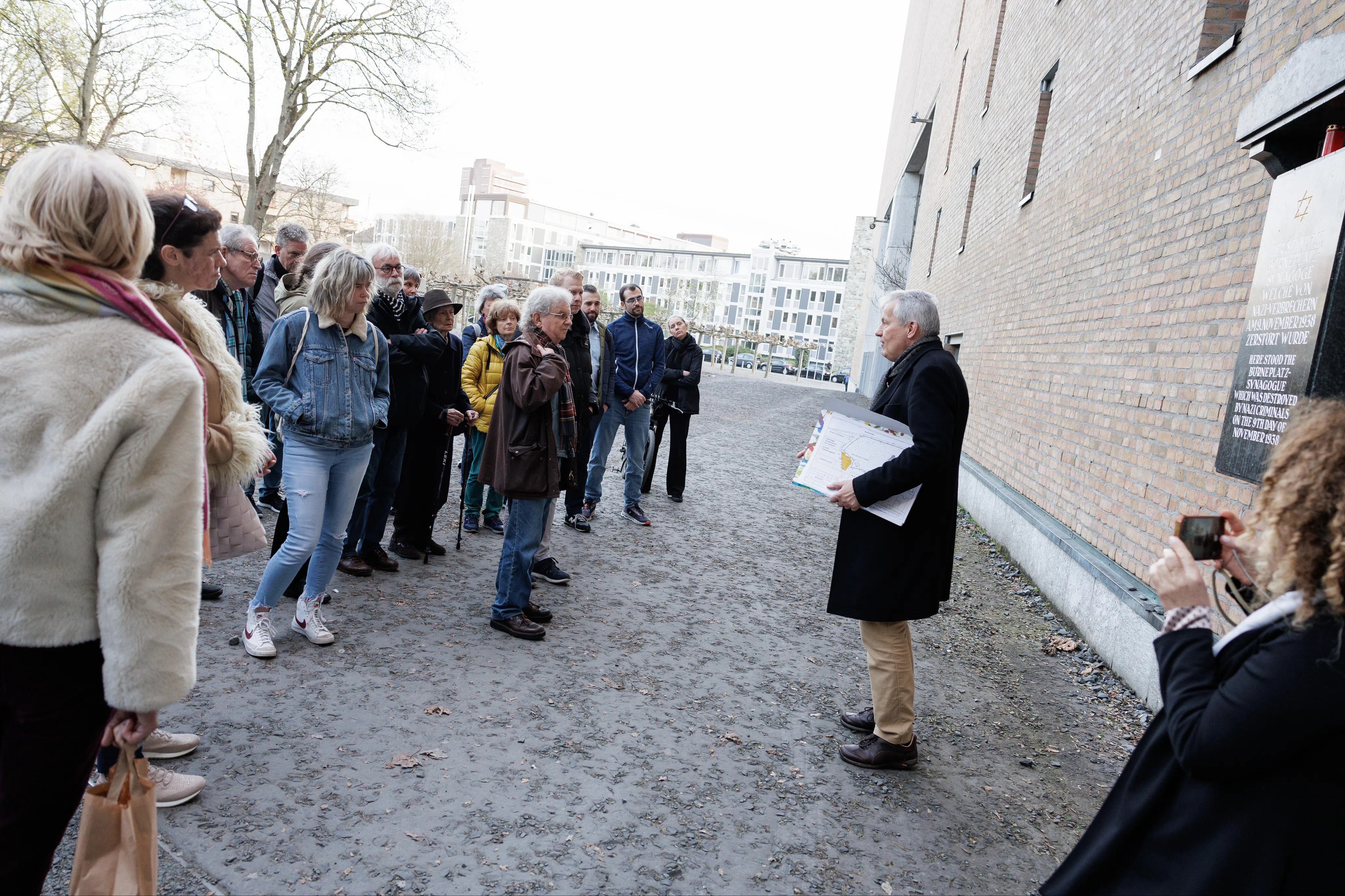
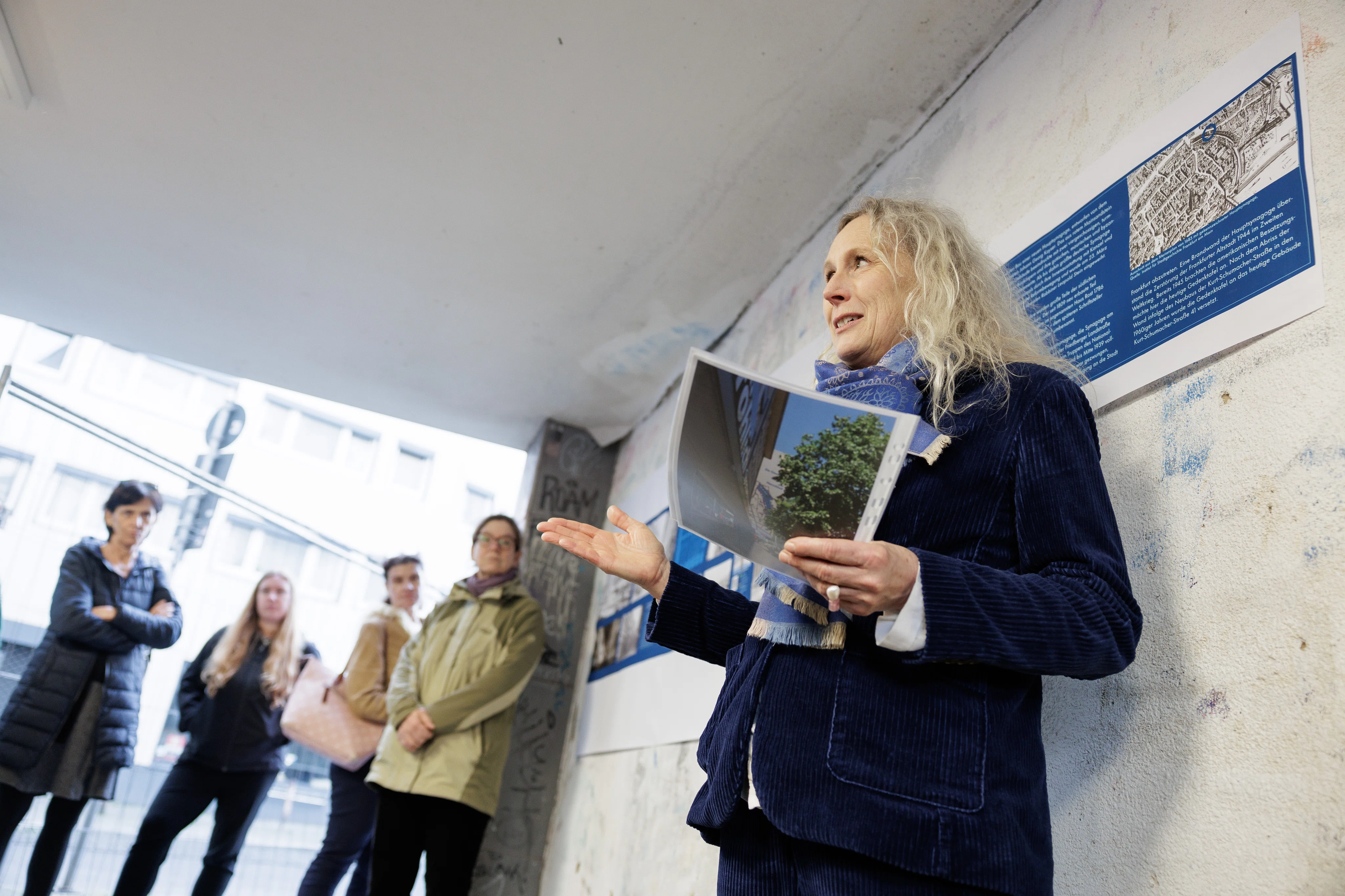
A short lecture by Dr Wolfgang David, Director of the Frankfurt Archaeological Museum, explained the location of the medieval Jewish residential area south of the cathedral up until the expulsion of the Jewish population and the establishment of the ghetto on the former city moat. The history of development from around 1500 to the destruction of the synagogues by the National Socialists was analysed. The destruction of the neighbourhood by Allied bombing raids and the fundamental transformation of the cityscape up to the present day were discussed. The subsequent walk followed the traces of the former Jewish residential areas and led via the former Judenmarkt/Börneplatz to the northern end of the former ghettos, ending at the Goldener Apfel, An der Staufenmauer 11.
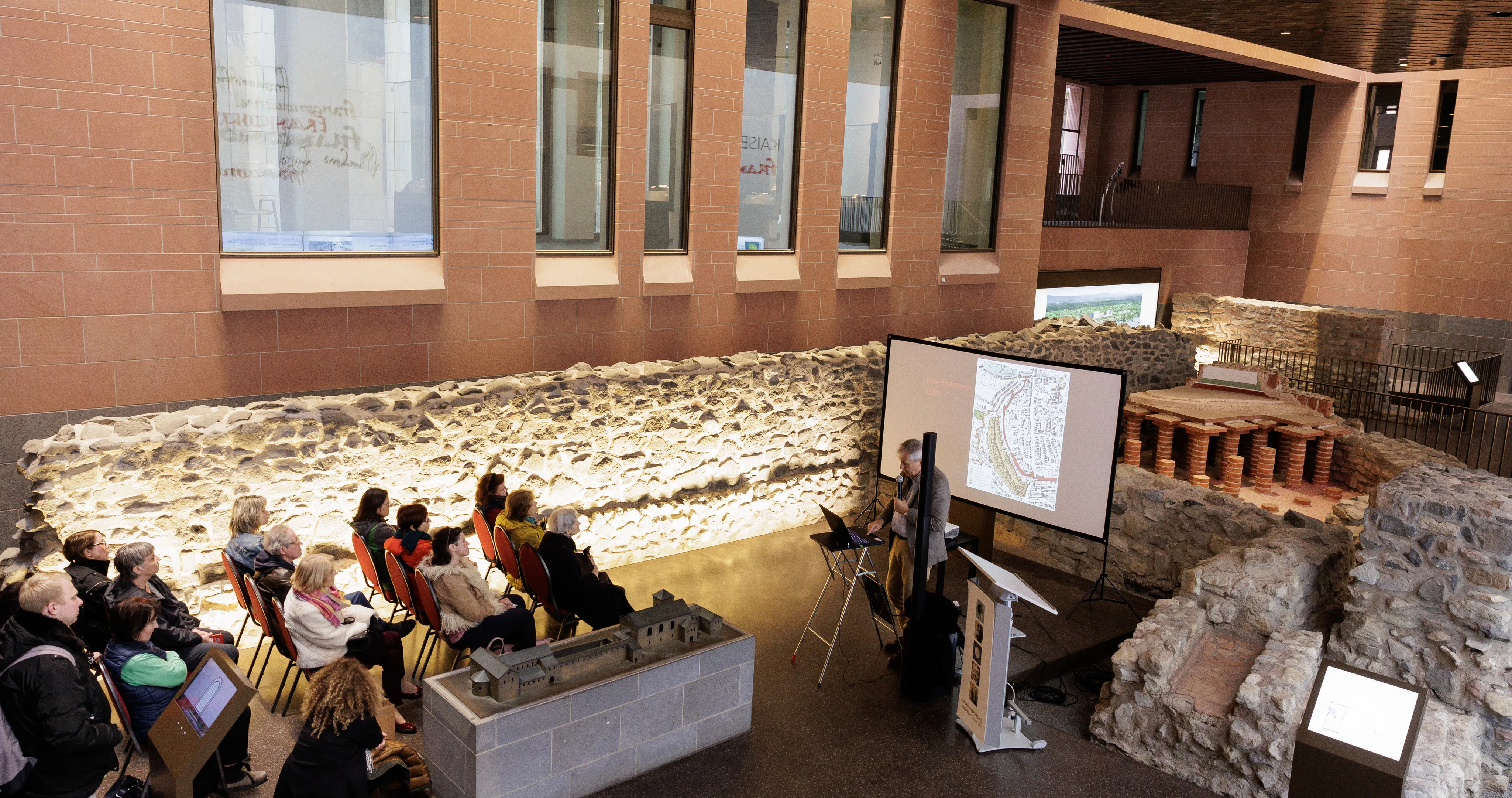
From the city centre to the ghetto outside the walls
Lecture and walk with Dr Wolfgang David, March 22nd, 2024
Photos
(all photos: Stefanie Kösling)
